
BURIED SERVICE LOCATION SUPPORT
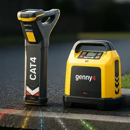
CAT and Genny Scanning
Practical utility detection to help identify and trace buried services before excavation or ground disturbance begins.
Discuss your requirements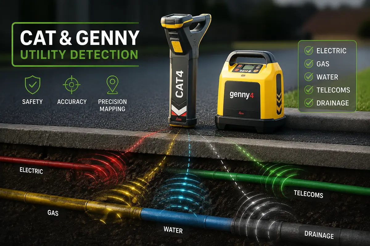
PLAN BEFORE YOU BREAK GROUND
Reduce the risk of service strikes
Scanning supports safer planning by helping identify detectable underground services and indicating their approximate route across the work area.
WHAT THE SERVICE SUPPORTS
Better information before excavation
The equipment is used methodically to search for detectable signals associated with buried services.
Passive scanning
The work area is checked in suitable receiver modes for signals associated with live cables and other detectable services.
Signal generation
Where appropriate, the Genny applies a signal that can help trace a compatible service or conductive route.
Site marking
Detected routes can be indicated on the surface to support planning and controlled excavation.
A METHODICAL SITE CHECK
Scanning shaped around the work area
The scan is planned around the proposed ground disturbance, the information available and the physical conditions on site.
- Review of the proposed excavation area
- Use of appropriate CAT operating modes
- Genny-assisted tracing where suitable
- Clear explanation of findings and limitations
A CLEAR FOUR-STAGE PROCESS
From work area to marked route
- ReviewConfirm the proposed work area and examine available service information.
- ScanSystematically sweep the area using the appropriate receiver modes.
- TraceUse the signal generator where suitable to help follow a detectable route.
- MarkIndicate relevant findings and explain the next safe steps.
IMPORTANT LIMITATIONS
One part of safe digging
CAT and Genny scanning does not guarantee that every buried service will be detected or confirm an exact depth. It should form part of a wider safe system of work.
Lantra-qualified delivery
The service is delivered by a Lantra-qualified operator using a practical, site-led approach.
ARRANGE A SITE SCAN
Tell us where work is planned
ProLand can discuss the location, proposed ground disturbance and the most suitable first step.